


829,533
Number of farmers reached
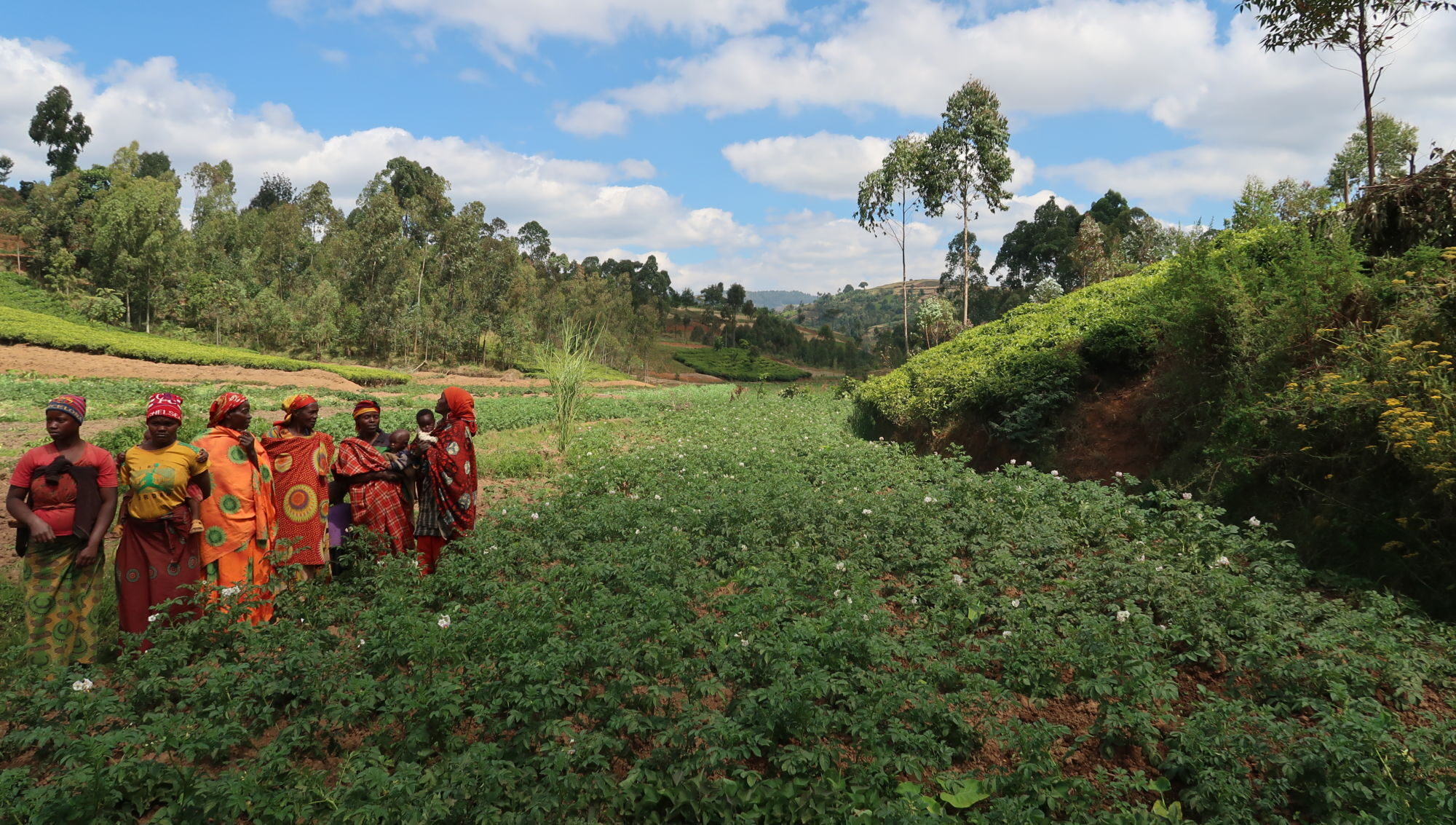
Weather Impact provides agribusinesses with easy to access, reliable weather and climate information. We have the mission to support climate adaptation with user-friendly sustainable weather solutions. Our services are flexible, tailor-made, and available in various languages across Africa, Asia and Europe. Right now over 800,000 farmers receive weather forecasts and farm management advisories directly on their mobile phones, either via simple text messages or mobile phone application.
Our accurate weather alerts, seasonal forecasts and climate risk analyses supports stakeholders in the agricultural and business sector and strengthens their resilience in a changing climate. Reliable local weather data reduces losses and helps optimize global food production.
We partner with various private companies, NGO’s, Research institutes and National Meteorological Agencies to reach farmers in the last mile with crucial weather and climate information. By helping local partners to build up capacity and give them the needed training, we play a role in improving the usability and lasting impact of the service, leading to significant value.
Latest news
-
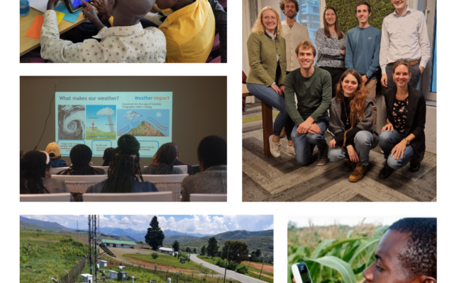
 Two new consultants Joep & Joanne Two new consultants joined our Weather Impact team! A warm welcome to Joep Bosdijk and Joanne Hullegie. Joe...
 -
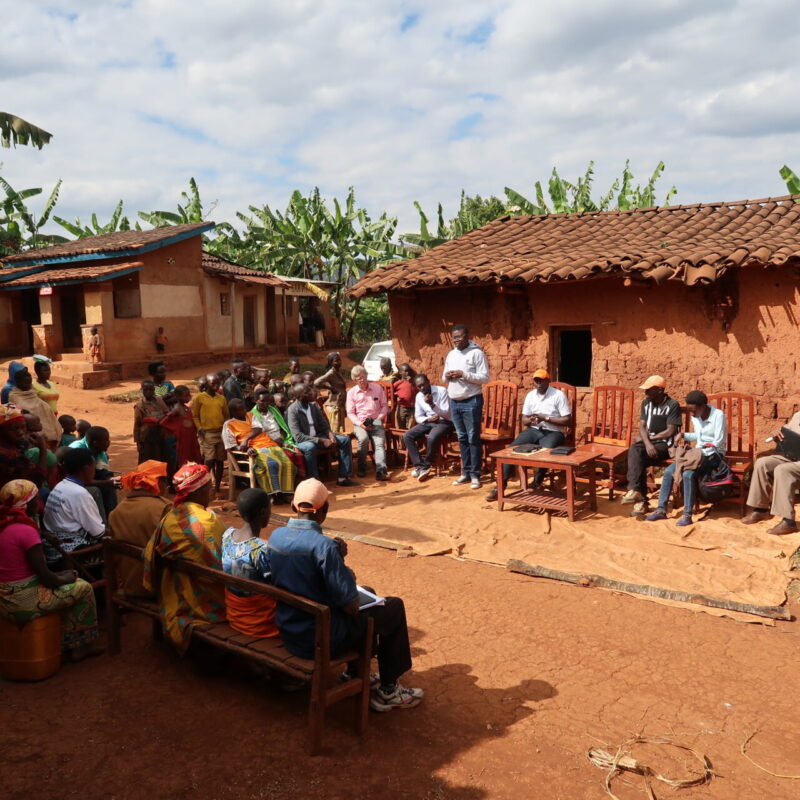
 Kilimo Thabiti project kick-off for Tanzanian farmers Weather Impact launched the “Kilimo Thabiti” project in Tanzania, aiming to support 2400 maize and cassava...
 -
Social KPI’s – Impactful numbers from 2023 As 2024 starts, it is good to look back at 2023. But what determines a good year for Weather Impact? As in ...

Our mission is to support climate adaptation with user-friendly sustainable weather solutions


Where we are active
Weather Impact is currently active in the following countries. Click on a marker for more information.